Cappadocia is simply awesome. It’s a region in the middle of Turkey famous for its natural landscape and its history. In this article, you’ll be able to read about the following topics (click on the one you’re interested in):
_______________________________________
A Brief History of Cappadocia
The earliest record of the name of Cappadocia dates from the late 6th century BC, when it appears in the trilingual inscriptions of two early Achaemenid kings, Darius I and Xerxes, as one of the countries of the Persian Empire. In these lists of countries, the Old Persian name is Katpatuka, meaning “Low Country“. A number of other etymologies have also been offered in the past, but we have chosen this one due to our love for Persia!
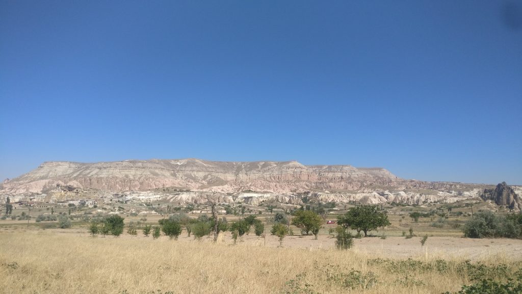
In the late Bronze Age, Cappadocia was the homeland of the Hittite power centred at Hattusa. After the fall of the Hittite Empire, it was ruled by a sort of feudal aristocracy. In the 5th century BC, it was then included in the third Persian satrapy in the division established by Darius but continued to be governed by rulers of its own, but all more or less tributaries of the Great King. Persian colonists in the Cappadocian kingdom continued to practice Zoroastrianism.
After ending the Persian Empire (334 BC), Alexander the Great tried to rule the area through one of his military commanders but Ariarathes, a Persian aristocrat, somehow became king of the Cappadocians and the borders of the Cappadocian Kingdom were extended as far as to the Black Sea. After the death of Alexander, the empire was then divided into many parts and Cappadocia fell to Eumenes. The dynasty name was kept, though, and under Ariarathes IV, Cappadocia came into relations with Rome.
The Romans got involved in the ruling of the region and eventually a Cappadocian nobleman Archelaus was given the throne, by favour first of Antony and then of Octavian, and maintained tributary independence until 17 AD, when the emperor Tiberius reduced Cappadocia to a Roman province.
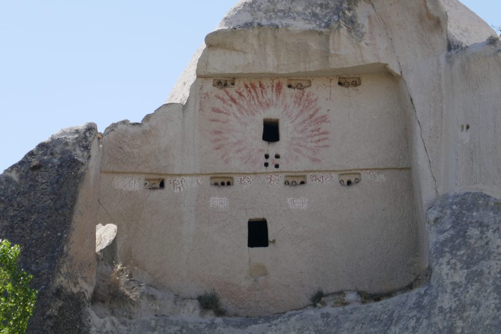
In 314, Cappadocia was the largest province of the Roman Empire, and was part of the Diocese of Pontus. In 371, the western part of the Cappadocia province was divided into Cappadocia Prima, with its capital at Caesarea (modern-day Kayseri); and Cappadocia Secunda, with its capital at Tyana. It largely consisted of major estates, owned by the Roman emperors or wealthy local families.
In the 4th century, Cappadocia also produced some of the greatest early Christian ecclesiastical writers, including the Cappadocian Fathers: Basil the Great, Gregory of Nazianzen and Gregory of Nyssa. For many centuries, the religious authority of Caesarea extended over the whole of southeast Anatolia, and today the region holds more than a thousand churches, dating from the earliest days of Christianity to the thirteenth century.
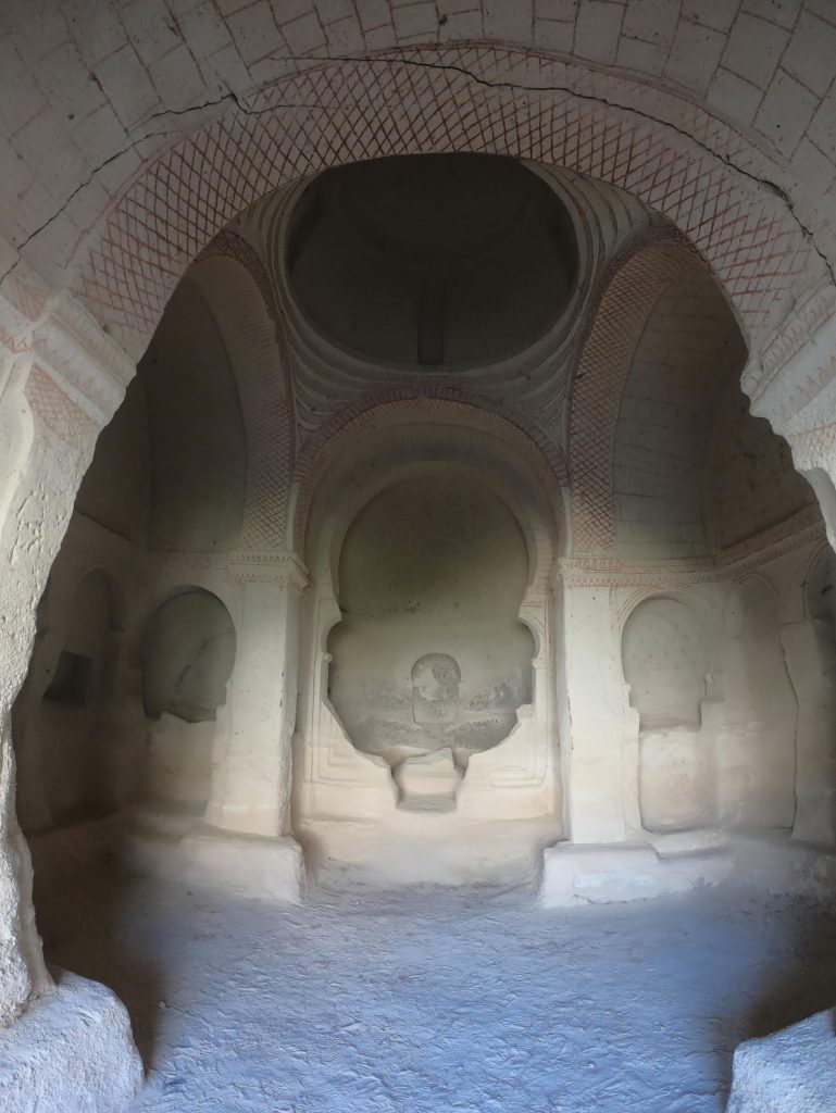
By the start of the 8th century, the political power of Cappadocia’s increasing number of monks was beginning to cause concern, leading to the closure of monasteries and confiscation of their property. The worst period of repressive activity occurred during the reign of Constantine V, marked by the Iconoclastic Council in 754. All sacred images, except the cross, were forbidden, a ruling that had a profound effect on the creative life of churches in the region.
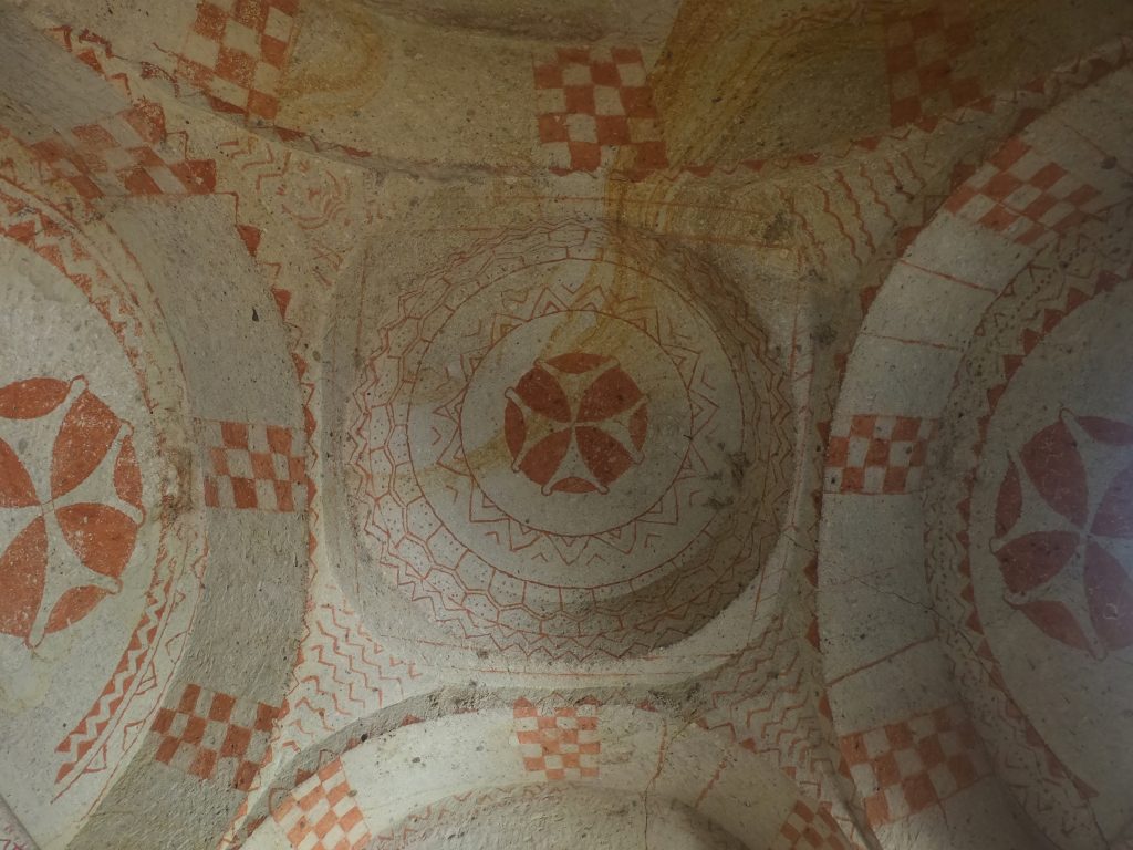
After the restoration of the cult of images in 843, the religious activity of Cappadocia saw a renewed vigour. The wealth of the Church increased to such an extent that in 964 monastery building was prohibited, an edict only withdrawn in 1003. Even though Cappadocia continued to be a centre of religious activity well into the Ottoman period, it had lost the artistic momentum that had produced the extraordinary works of earlier centuries.
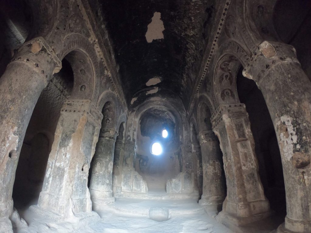
Following the Battle of Manzikert in 1071, various Turkish clans under the leadership of the Seljuks began settling in Anatolia. With the rise of Turkish power in Anatolia, Cappadocia slowly became a tributary to the Turkish states that were established to the east and to the west; some of the population was forcibly converted to Islam, whereas others got to form the Cappadocian Greek population – the Cappadocian Greek language is now only spoken by a handful of the former population’s descendants in modern Greece.
Over the course of the 15th century, the Ottoman Empire spread in the region and Cappadocia remained part of it for centuries to come. A fundamental change occurred in between when a new urban center, Nevşehir, was founded in the early 18th century by a grand vizier who was a native of the locality (Nevşehirli Damat İbrahim Pasha), to serve as regional capital, a role the city continues to assume to this day.
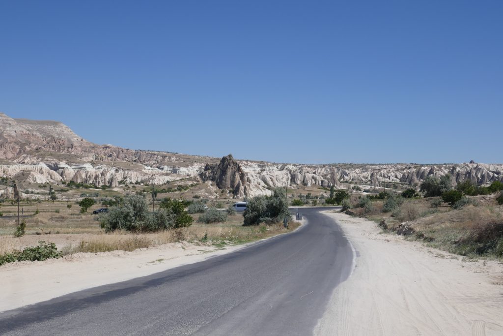
Excursions and Hidden Paths
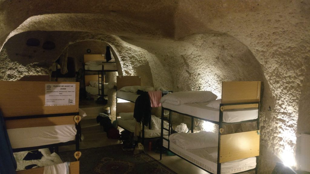
We spent 3 days in Cappadocia. We arrived at Nevşehir at about 9am and took a minibus to Göreme, the most famous town in the region. We stayed at Kamelya Cave Hostel and we slept in the dormitory in a real cave!
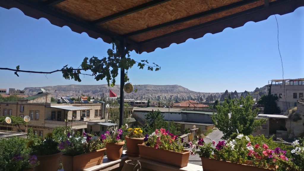
- We liked the hostel for the delicious breakfast and because of its terrace with a perfect view of the valley; unfortunately, it wasn’t a hostel since we couldn’t use the kitchen.
From Uçhisar to the Love Valley
We felt very well that morning and very excited of being there so we decided to go for a walk from Uçhisar to the Love Valley passing through the Honey Valley and the White Valley. It was noon so we first bought something to eat at the local bakery and supermarket.
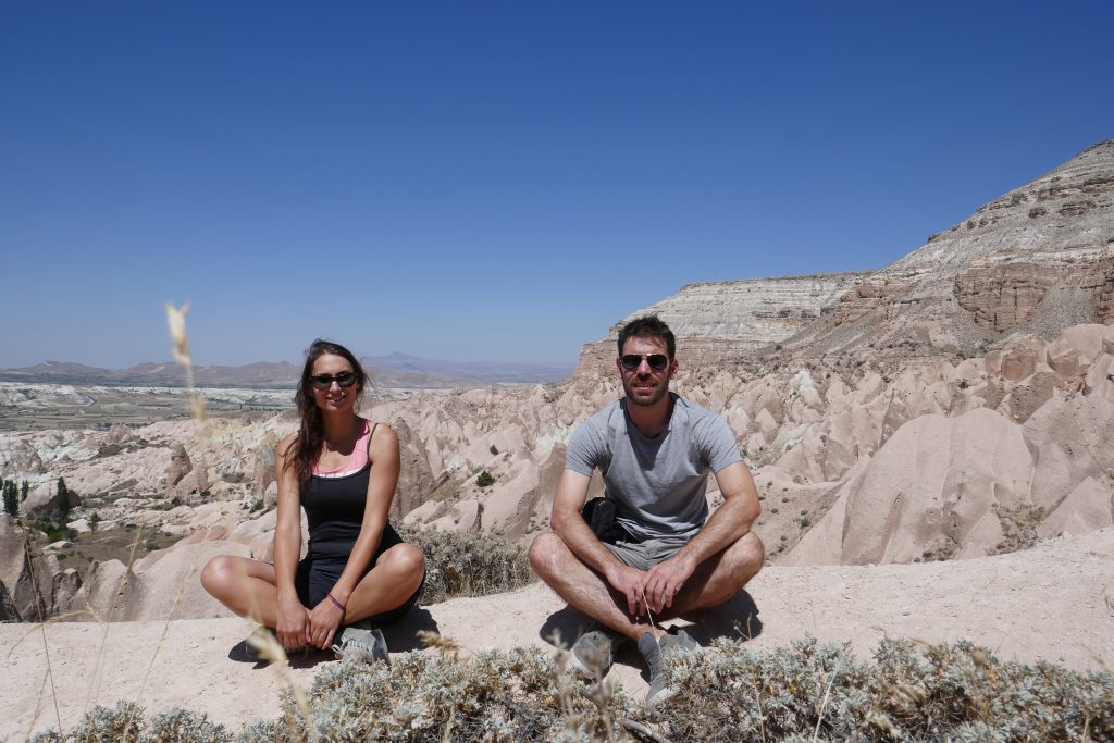
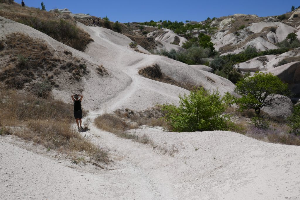
Then, we took a minibus to Uçhisar and asked the driver for the Love Valley, so that we could get off at the most convenient point. Well, leaving at noon wasn’t super wise as it was at least 35°C but eating in a cave along the way surrounded by white mountains and green trees was worth the heat. The path is very smooth and the landscape unique. You will be able to see lots of little “windows” in the mountains and a nice hidden church walking a bit up, out of the main track (spot the arrow and follow it eheh). The Love Valley is clearly called like this for a reason… and you can see it in the picture below!
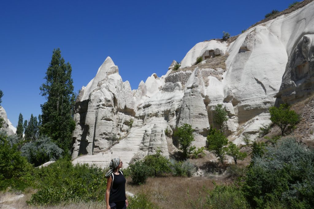
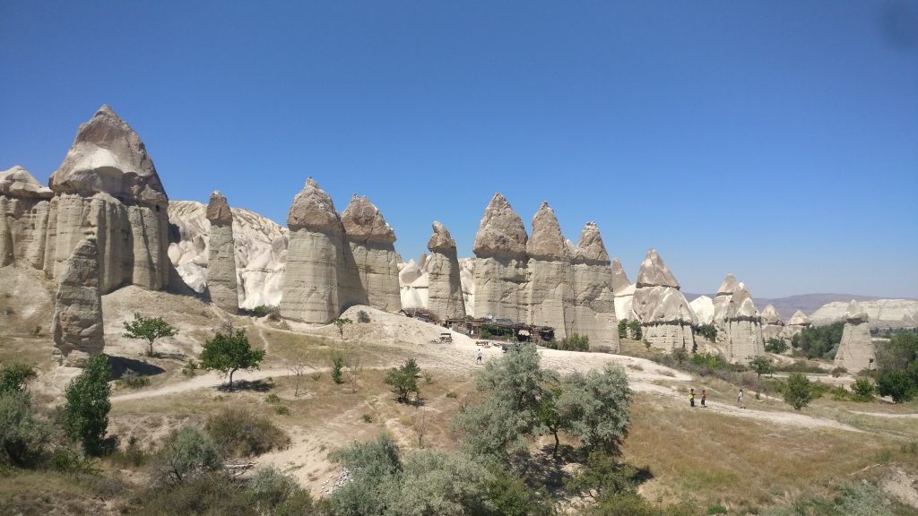
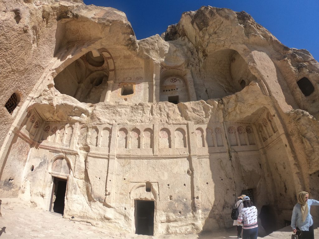
Once we got to the end of the Love Valley at Çhavushi, we hitchhiked to go back to Göreme and then again till the Open Air Museum (54 TL)… you can walk there but it’s quite steep and you may want to save up energy! The Museum is very nice and you can see lots of churches into caves with some frescos; the most beautiful and well-preserved one requires an extra ticket (18 TL).
Exploring the Red Valley
The second day we had a huge breakfast and then left for another hike! We hitchhiked again till Kaya Camping, a bit further up from the Open Air Museum, and then began our walk downhill in the Red Valley. The landscape is quite different from the other valley and plenty of the well-known cymneris.
The hike is really nice as you first walk down the valley crossing some tunnels from time to time and then you go up to a viewpoint in order to take the panoramic path. We did it all! So we spent the all day in the middle of nowhere up in the mountain and it was just amazing!!! It was very hot but we had enough water and food so we were ok. At one point we spotted a cave and we stayed there for like one hour and a half to enjoy the view and chat about our trip!
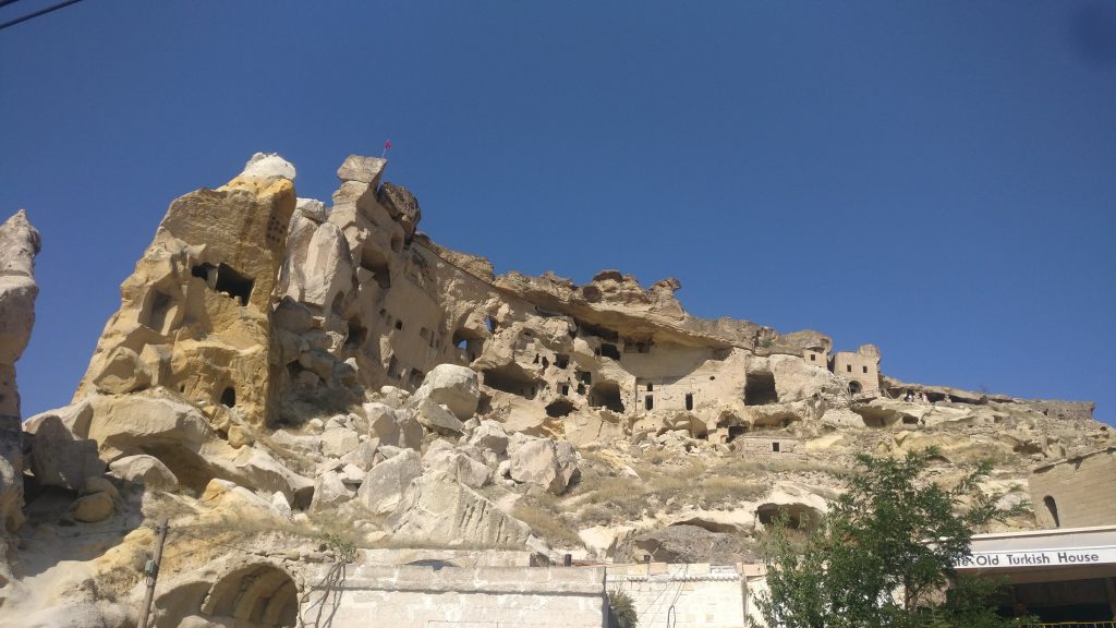
We then continued downhill till we got to Çavuşin. We saw Pasabag, which seemed to be a proper town in the mountains, and then walked through the old castle to reach the town. As always, we hitchhiked till Göreme: thanks to a few basic words and gestures, we shared our love for Turkey with the nice couple who gave us a lift.
Derinkuyu Underground City and Selime Monastery
The evening at the hostel was very nice as we met a bunch of nice people from different countries and we had some fun together sharing our travel stories and drinking some Turkish wine! We also went to dinner together and have some Turkish pide (a sort of pizza). The Canadian guy of the group, Justin, decided to come with us the following day to visit an underground city and Selime monastery.
The hostel had offered us an organized tour to visit the same plus Ihlara Valley but we decided to go on our own. Was it a good choice? Well, we have different options about it so we’ll just tell you how our day was and give you all the info so that you can choose what type of experience you prefer.
We left at 9 in the morning to go to Nevsherir and get the the minibus to Derinkuyu underground city, the deepest one of the region (85mt). It was nice even if too crowded to fully enjoy it. However, you can get a rough idea of what underground cities were like. They have vast defence networks of traps throughout their many levels. These traps are very creative, including such devices as large round stones to block doors and holes in the ceiling through which the defenders may drop spears.
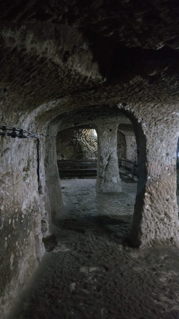
Underground room 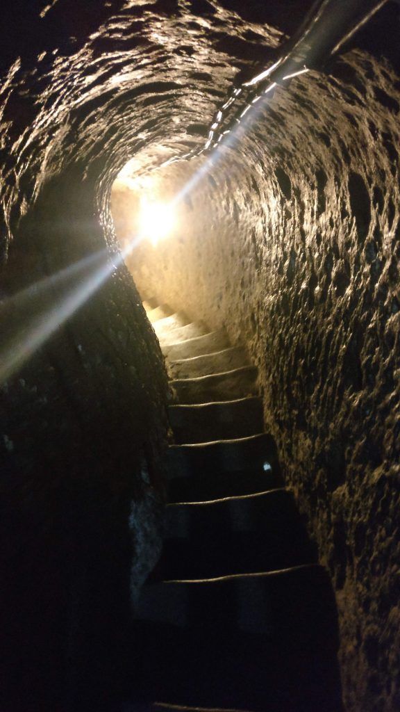
Underground tunnel
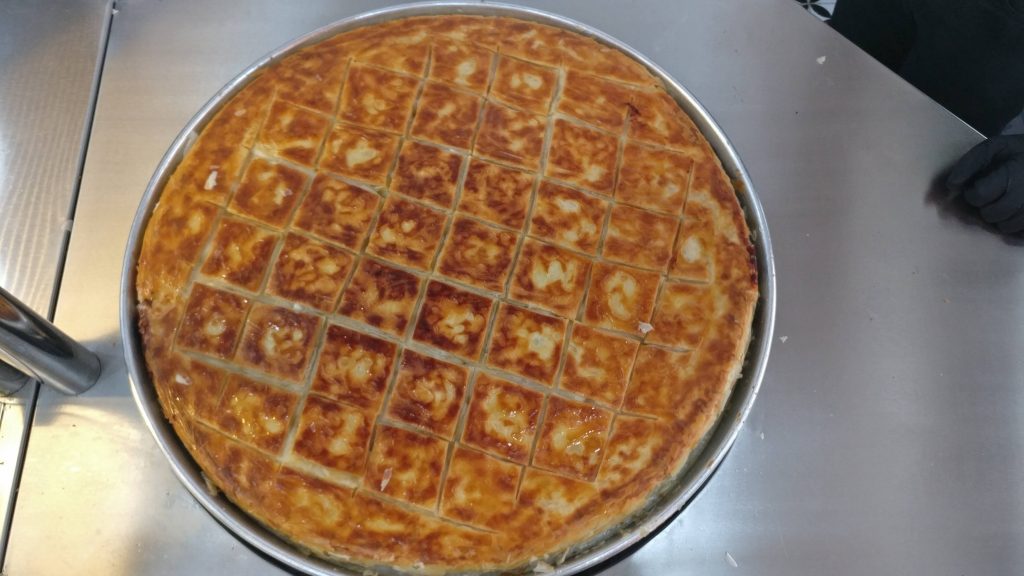
At 12.00 we took the mini bus back to Nevsherir and we said goodbye to our new globetrotter friends, the “Swiss Dreamers”. We met in the morning and enjoyed the visit and long chatting together. The three of us left, then, went for some food. We run into a one-dish place and had a super nice bulent borek.
After lunch we stuck to the plan and head towards Selime Cathedral. We had been told it would have been easy… well, it is not but it can be kind of funny experience. So, first of all we had to go to the Otogar (bus station) in Nevşehir – city bus 1 and 2 go there – to take a bus to Aksaray (25 TL, 1 hour drive). We were then supposed to take a minibus from the city centre to Selime but the bus stopped only at the Otogar, quite far from the city centre, and nobody knew about a bus to Selime.
We asked to taxis but they would have charged us a lot of money so we didn’t know what to do. I was freaking out a bit when I saw a man and my woman instinct told me he was the right person to ask for the city centre… well, this guy, who spoke very good English, was going towards Selime with his daughter to visit his relatives and could give us a lift. We couldn’t believe it! We got super relieved and jumped onto his car – after having helped his sister with loading buckets of tomatoes on the bus to Ankara!
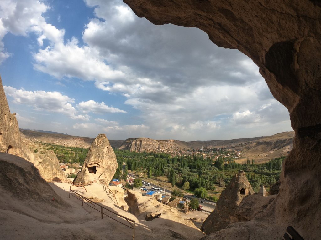
After 40 km chatting with our Turkish, Bristol-based driver, we eventually got to Selime! The caved mountain there is huge and stunning. We jumped up and down some caves before getting to the actual site (35 TL). We then went up to see the monastery, the church and the other peculiar caves and views over Ihlara Valley.
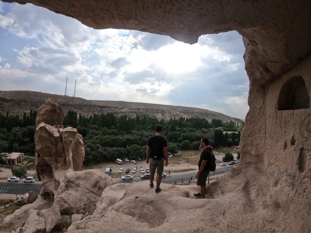

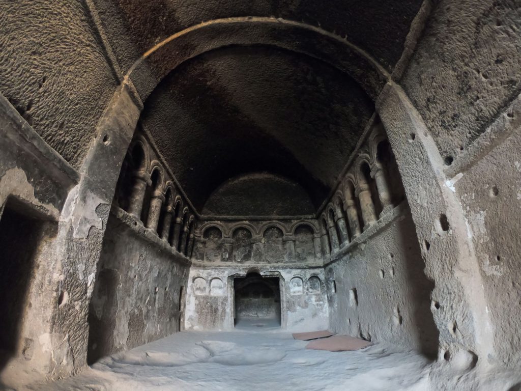
Unfortunately, we didn’t know that Ihlara Valley was so close to Selime (it actually ends in Selime) and at that point we didn’t have time to visit it. Anyway, we were told it’s 18km long and you can walk just the first 5 or 6 settings off from Ihlara and it’s meant to be very green and full of ancient churches.
So we decided to head back to Aksaray hitchhiking. After few denies, we found our man! As he knew we are Italians, he was super happy and started listing names of his Italian colleagues back in Germany. Although the conversation was poor and super broken, we had a funny way back to Aksaray Otogar. We then took a bus to Nevsherir (20 TL) at 7pm and another one to Göreme at 8pm.
Tips to visit Selime
After that long day, we can give you the following recommendations:
- If you want to see more things without thinking about the road, get one of the organized “green tour” from Göreme.
- If you wanna see more things following your own timing, rent a car and drive around.
- If you don’t care about seeing everything but want to have a sort of local adventure, use public transport and hitchhiking.
Whatever you decide to do, keep in mind that Ihlara Valley ends in Selime and the ticket is valid for both of them if visited on the same day. The area there is very beautiful and we think it’s worth spending even one day there.
____________________
On the fourth day we woke up very early to catch our bus to Ankara at 9am… but this is another story and you can know everything about it in our journey across Turkey!
